Sun, July 26, 2026

Surf:
Thigh to waist high, ESE/SE background swell at 7 sec, with NE winds at 5-10 kt this morning.
NOAA Marine Forecast:
NE winds 5 to 10 kt. Seas 3 to 4 ft, occasionally to 5 ft. Wave Detail: SE 4 ft at 7 seconds.
Water Temp: 62°– 70°
Wear 3/2mm full, or a 2mm short-sleeve full.
Sunrise and Sunset:
5:39 AM • 8:10 PM
Montauk Point (Ocean) Tides:
HIGH: 6:33 AM • LOW: 11:36 AM • HIGH: 7:03 PM
Shinnecock Inlet (Ocean) Tides:
HIGH: 5:58 AM • LOW: 11:06 AM • HIGH: 6:19 PM
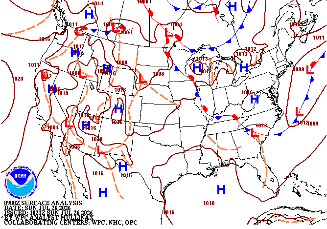
Synopsis for Long Island, New York Coastal Waters:
High pressure remains in control today. The high pushes east of the waters Monday. A slow moving frontal system will impact the waters Monday night into Thursday.
Next Chance For Surf:
Mon: 1-2 ft mix of E and SE background swells at 7-8 sec, with E winds around 5 kt in the morning, S winds in the afternoon. Tues: 2-3 ft mix of SE swell at 8 sec and onshore wind-slop, with S winds at 10-15 kt and gusts to 25 kt. Weds: 4-6 ft storm-surf, with SE winds at 15-20 kt and gusts to 30 kt. Thurs: 3-5 ft surf with NW winds at 10-15 kt and gusts to 20 kt...
This is Lutha saying,
Happy Surfing!